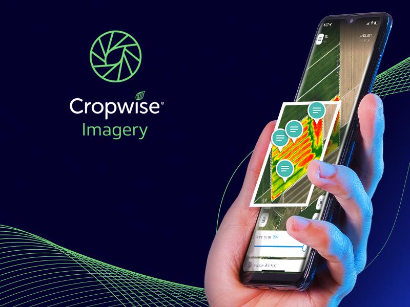
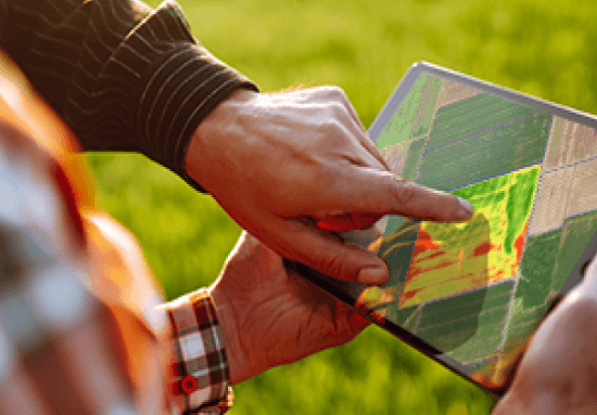
A powerfully simple Digital Agriculture tool
- Simplicity in viewing Satellite Imagery
- Scouting efficiency with a bird’s eye view
- Easily prioritize critical areas
- Promptly address and share field health issues
- Straight-forward quantitative analytics
Focus on the most important areas.
Create precise variable rate prescriptions.
Enhanced visibility to the metrics you care about.
Monitor the same area for changes over time.
View Histograms, Time-series values, & Snapshots to see how the field's NDVI values changes.
Tag in-field areas with shareable pictures and text.
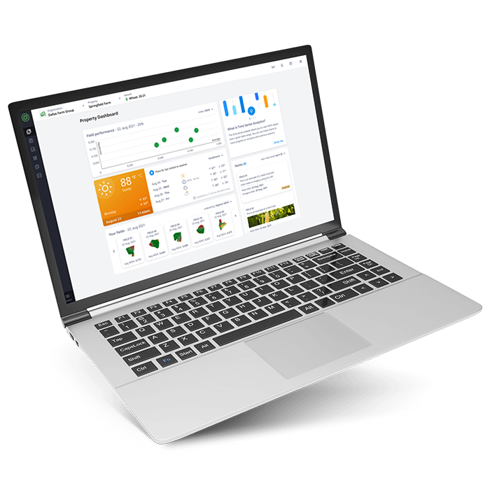
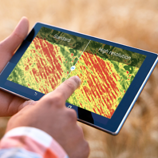
Your farm, in your hands
Imagery App
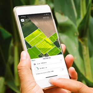
- Available on Android and iOS
- Download images for offline use
- Share important updates
Unlock your farm’s potential with
Planet Imagery
- 3.5 meter Resolution
- Daily Frequency
- Global Coverage
